Beginning Street Number
345

End Street Number

STREET # SUFFIX

Street Name
N. Milwaukee Avenue

PIN

Local
Within Local District?
No

Local Dist Contrib/Non-Contrib?
NC

Local Landmark?
No

Year

Local Landmark Eligible?
No

Criteria


main image
Photo Id:
MilwaukeeAveN345
Building Details
Building name
 
Ground Floor Use
Commercial 
Upper Floor Use
Commercial 
Current Occupant
 
Zoning
C-1 
Number of Stories
Property Index Number
1116300101 

National Register
NR District Contrib/Non-Contrib
NC 
Within District?
No 
NR Landmark?
No 
Year
 
NR Eligible?
No 
Criteria
 
Alternate Address?
 

General Information
Category
Building 
Condition
Excellent 
Integrity
Major alterations 
Current Use
Commerce/Trade 
Historic Use
Commerce/Trade 
Secondary Structure
 
NR Second
 

Architectural Description
Architectural Classification
One Part Commercial Block 
Details
 
Other Year
2014 
Date source
Surveyor/Sanborn Maps/Assessor 
Wall Material (Current)
Brick 
Wall Material 2 (Current)
 
Plan
Rectangular 
No of Stories
Roof Type
Flat 
Roof Material
Not Visible 
Foundation
Not visible 
Porch
 
Window Material
Aluminum/vinyl 
Window Material 2
 
Window Type
Storefront 
Window Configuration
 
Significance
 
Historic Features
 
Alterations
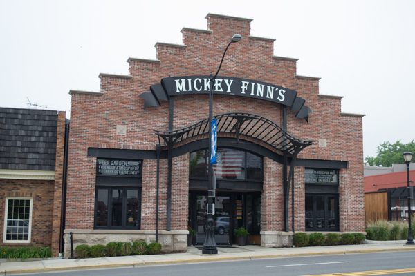
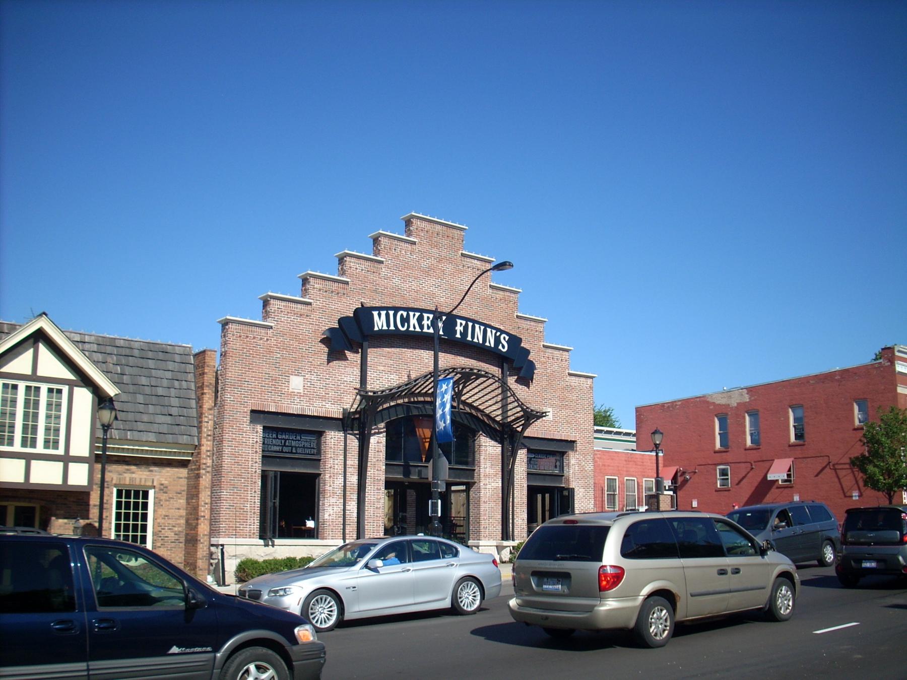
Front facade rebuilt in 2014, with new windows, entrance, and stepped parapet 

ADDITIONAL PHOTOGRAPHS
additional_images
Photo Id:
MilwaukeeAveN345(2)


additional_images
Photo Id:
NorthMilwaukee345


additional_images
Photo Id:
NorthMilwaukee345(1)


Historic Information
Old Address (city dir.year
Building Moved?
Moved From
Original Owner
Original Architect
Architect Source
Builder
Surveyor
LR
Surveyor Organization
Ramsey Historic Consultants
Survey Date
May-June 2016
Survey Area
Downtown Libertyville

Permit/Historic Information
Old Address
Date of Construction

Permit Moving Information
Moving Permit #
Date Moved

Original Permit Information
Building Permit #
Date
Building Permit Description
Cost
Original Owner Occupied?
Exterior Alteration Permits
Other Permit Information
COA Info
Historic Info
Assessor's photographs from the 1970s show the facade of the building before the recent alterations--http://www.idaillinois.org/cdm/ref/collection/cookmemo11/id/6585; http://www.idaillinois.org/cdm/ref/collection/cookmemo11/id/6586
Other Sources
Sanborn Maps--1912 (Sheet 2), 1924 (Sheet 5), 1933 (Sheet 5), 1948 (Sheet 5)
Historic Info Compiler
LR
Volunteer